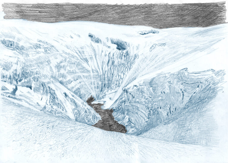
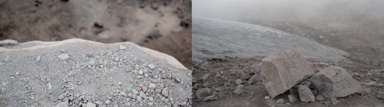
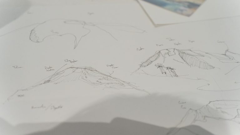
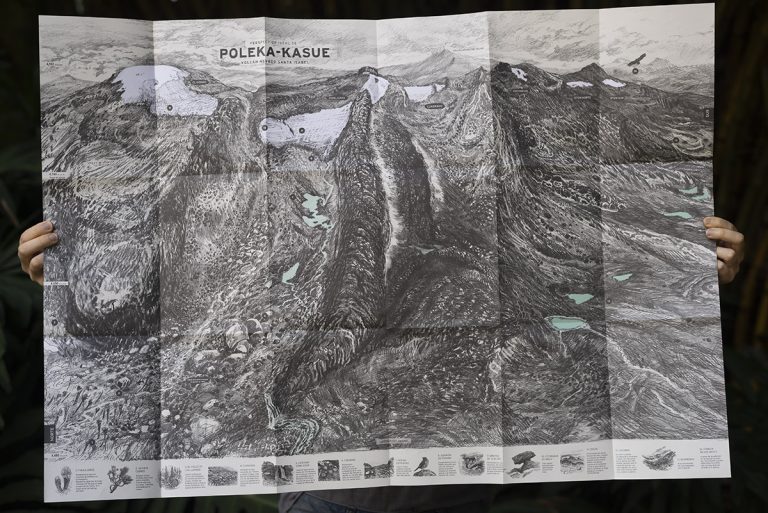
DULIMA, Ideal perspective of a volcano.

Cartography of the Tolima Volcano, a project carried out with the Tolima Participatory Monitoring Network.

This cartography is inspired by the ideal perspectives of the Chorographic Commission of the mid-19th century in Colombia, through which a landscape was graphically and …

Perspectiva ideal de Poleka-Kasue.

Cartografía del nevado Santa Isabel.

Perspectiva Ideal de Poleka-Kasue (nombre ancestral del Volcán Nevado Santa Isabel) es una cartografía del glaciar a menor altitud en Colombia y el que presenta el más acelerado descongelamiento. El mapa ofrece una interpretación gráfica …

The Mountain

Grafito y óleo sobre papel

Las montañas son muchas alrededor del planeta tierra, vienen de mucho más abajo del mar, de profundas placas tectónicas que edifican el globo, son las terminaciones de la estructura ósea de la tierra. Las montañas son eminencias topográficas término técnico …

The suspicion still exits

The flow maintains the meaning and the suspicion still exists.Among the meanders that delimit the districts of this huge hive,They ask me, from what waters do I come?I come from the mountains not the water.Like water comes from the mountain.And …

Red string of fate

RED THREAD

THE ART OF AFFECTION

From an early age i understood the impossibility of capturing the intensity of natural light  from an opaque medium, like painting, this mild  frustration has led  my way, in an exercise of loyalty or …

Delineating topographies

Bosque de la china was a displacement of drawing to sculpturing, to delineate paths for different gestural moments of the line and matter. The graphic moment extends on space, surrounding shapes and revealing surfaces. Granite tracks which models the plaster, …

Volver arriba